An Integrated Socio-Hydrological Assessment of the Flood Risk Causal-Effect Drivers’ Relationships and Management Approaches Within the Nyamwamba Catchment
Project/Research Title
Time Frame
Total Funding
Investigators
Project Icon Image
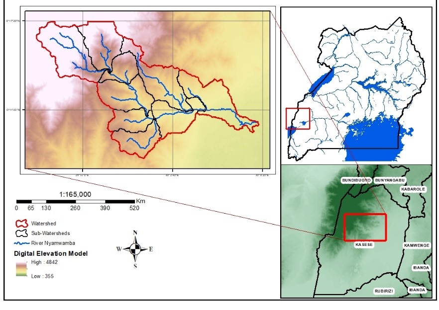
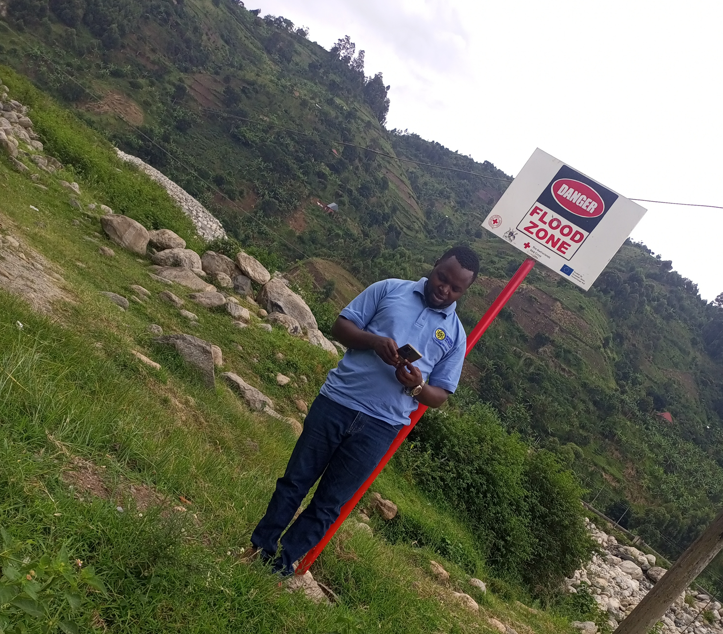
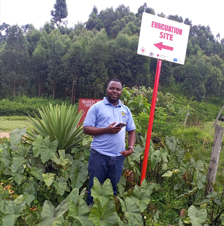
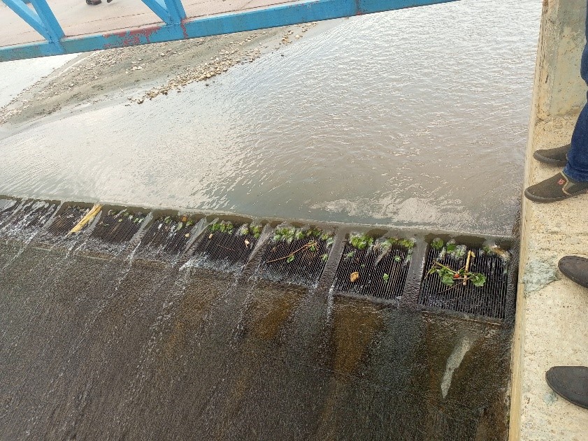
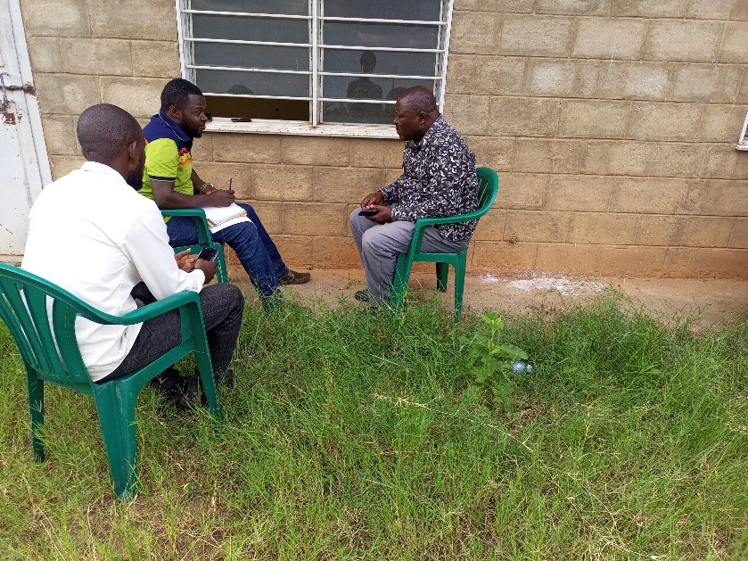
With the prevalent flooding within Kasese Municipality as a result of River Nyamwamba bursting its banks in every rainy season currently, a number of hydrological studies have been conducted. However, the suggested mitigations had not improved the situation because the suffering communities had been left out during solution generation. This study looked at community involvement from the problem identification to solution implementation as well as addressing the gaps in the policy arrangements as far as flood management is concerned in the region. Hydrological, participatory mapping, policy arrangement and citizen science approaches have been adopted and the identified measures have been tested against the Willingness-to-pay (WTP) and Willingness-to-accept (WTA) criteria in order to develop a functional flood management framework with dependable mitigation measures in the region. The project has taken (1) year. The main goal for the research study was to assess the flood risk causal-effect relationships and management approaches within the Nyamwamba catchment using socio-hydrological drivers. This has been done through determining the Nyamwamba River flood plain extents that correspond to the 25, 50, 100, 200, 500, and 1000-year design flows using catchment hydrodynamic modeling, examining the flood risk cause-effect web within the Nyamwamba Catchment using hydrological, policy arrangement and citizen science approaches and proposing effective structural and non-structural measures and assess their contribution towards riverine flooding alleviation along River Nyamwamba.